PHIVOLCS said the earthquake struck at 07:37 Philippine Standard Time on 8 June offshore Sarangani with moment magnitude 7.8. Al Jazeera, citing authorities on the day of the quake, reported that tsunami warnings were issued after the offshore event before later updates shifted attention to rescue and damage response.
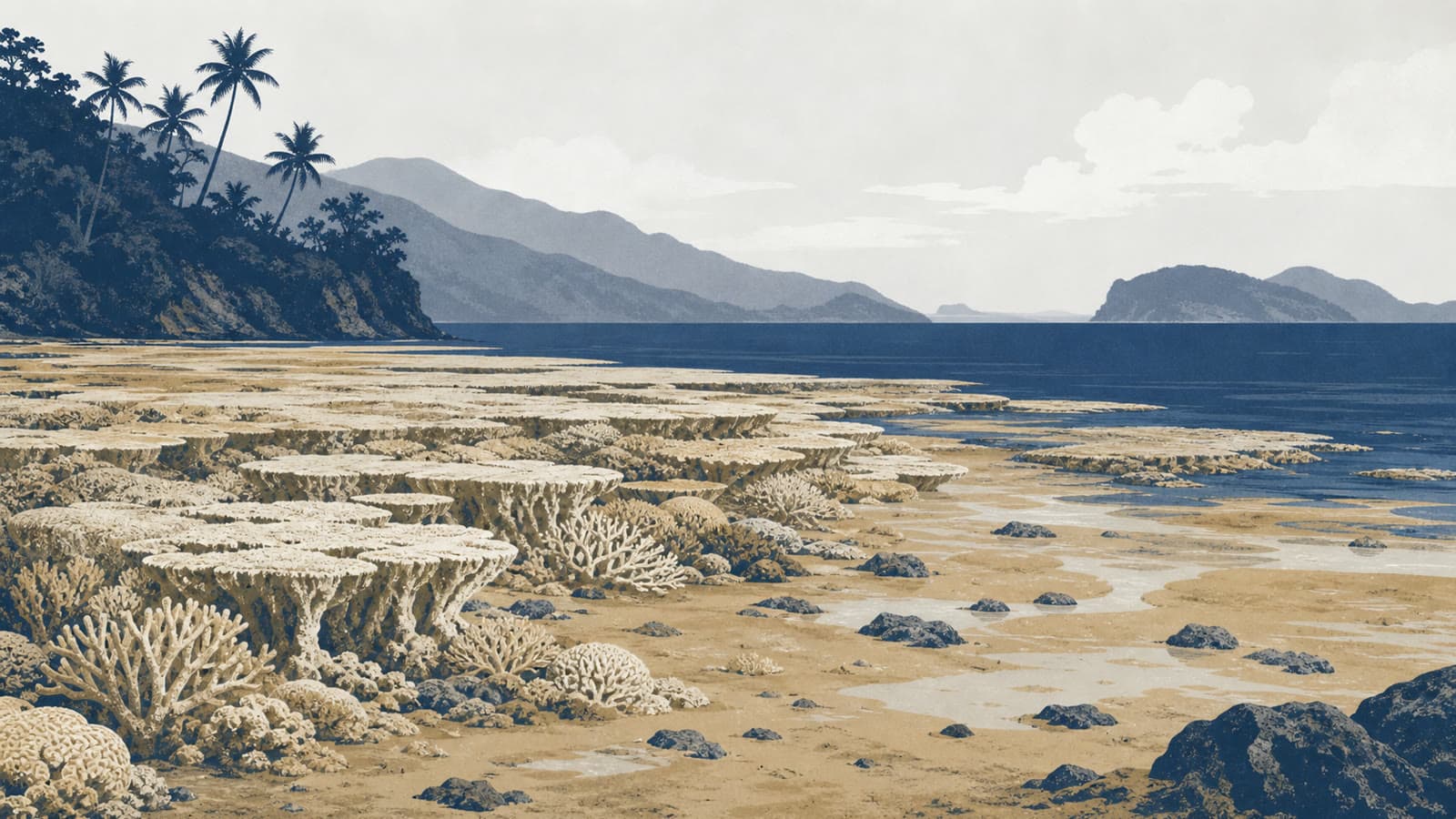
The environmental effect reported this weekend is coastal uplift, a vertical movement of land or seabed during an earthquake. GMA News reported that PHIVOLCS and the Department of Environment and Natural Resources' Mines and Geosciences Bureau in Region 12 confirmed uplift in Barangay Pangyan, Glan, where the seabed rose by as much as two metres and the shoreline extended by about 200 metres.
DENR Soccsksargen said local reports of unusually low sea levels reached the Sarangani Bay Protected Seascape Protected Area Management Office on 10 June, two days after the quake, according to GMA News. A survey by CENRO Glan and protected-area rangers found long stretches of exposed shoreline, coral reef and seagrass beds, particularly in Pangyan Marine Sanctuary.
The exposed habitat had begun to die, along with organisms including reef fish, eels, clams and shells, DENR Soccsksargen said in the statement reported by GMA News. News5 separately reported the same official account and said a composite team from DENR, MGB-12 and local government units was scheduled to conduct a scientific study on 16 June.
The two-metre figure should not be read as a full damage assessment. Officials have not yet published a mapped ecological inventory of the affected reef and seagrass area, and an official quoted in AFP-based reporting said authorities could not yet say how wide an area had been affected. The coming assessment is therefore central to any claim about the scale of reef loss, fisheries impact or recovery time.