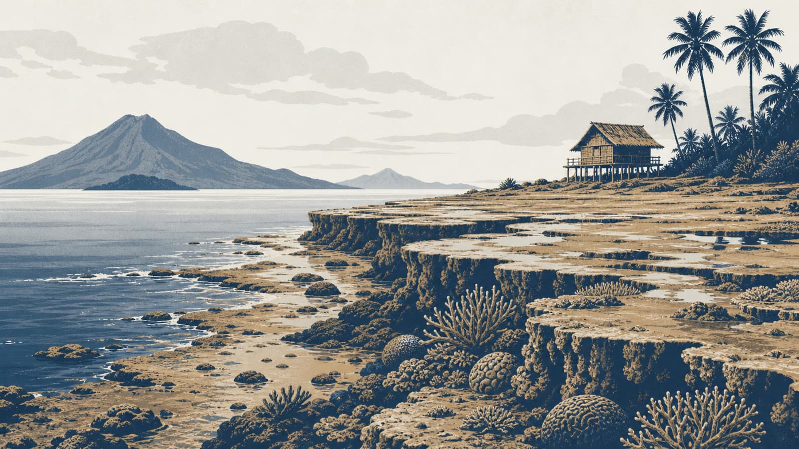
The reports said residents first observed the geological phenomenon two days after the quake, with the shoreline extending by as much as 200 metres in some places. The Guardian cited the Philippine environment department as the source for exposed shorelines, reefs and seagrass beds, and quoted the Philippine Institute of Volcanology and Seismology, or PHIVOLCS, saying movement of the Cotabato Trench pushed upward parts of the Sarangani and Davao Occidental coastlines.
Coastal uplift means land or seabed rises relative to sea level after movement on an earthquake fault. It is not the same measurement as the horizontal extension of a beach or shoreline. In this case, the reported vertical uplift was about two metres, while the reported shoreline extension reached as much as 200 metres in some places; the two figures describe different dimensions of the same physical change.
The human toll remains separate from the geological finding. The Guardian reported, citing the disaster agency, that at least 61 people had been killed and at least 40 remained missing after the quake. The National Disaster Risk Reduction and Management Council should be treated as the controlling authority for casualty updates as new situation reports are issued.
PHIVOLCS is the primary scientific authority for Philippine seismic monitoring, and the Guardian report attributed the uplift explanation to the agency. The Cotabato Trench is close to the southern Mindanao coast and is a site of frequent seismic activity, according to the same reporting. A full scientific map with point-by-point uplift measurements was not found during this draft check, so the article does not present a chart or map.